Drone Services
Details listed below
3D Reality Capture
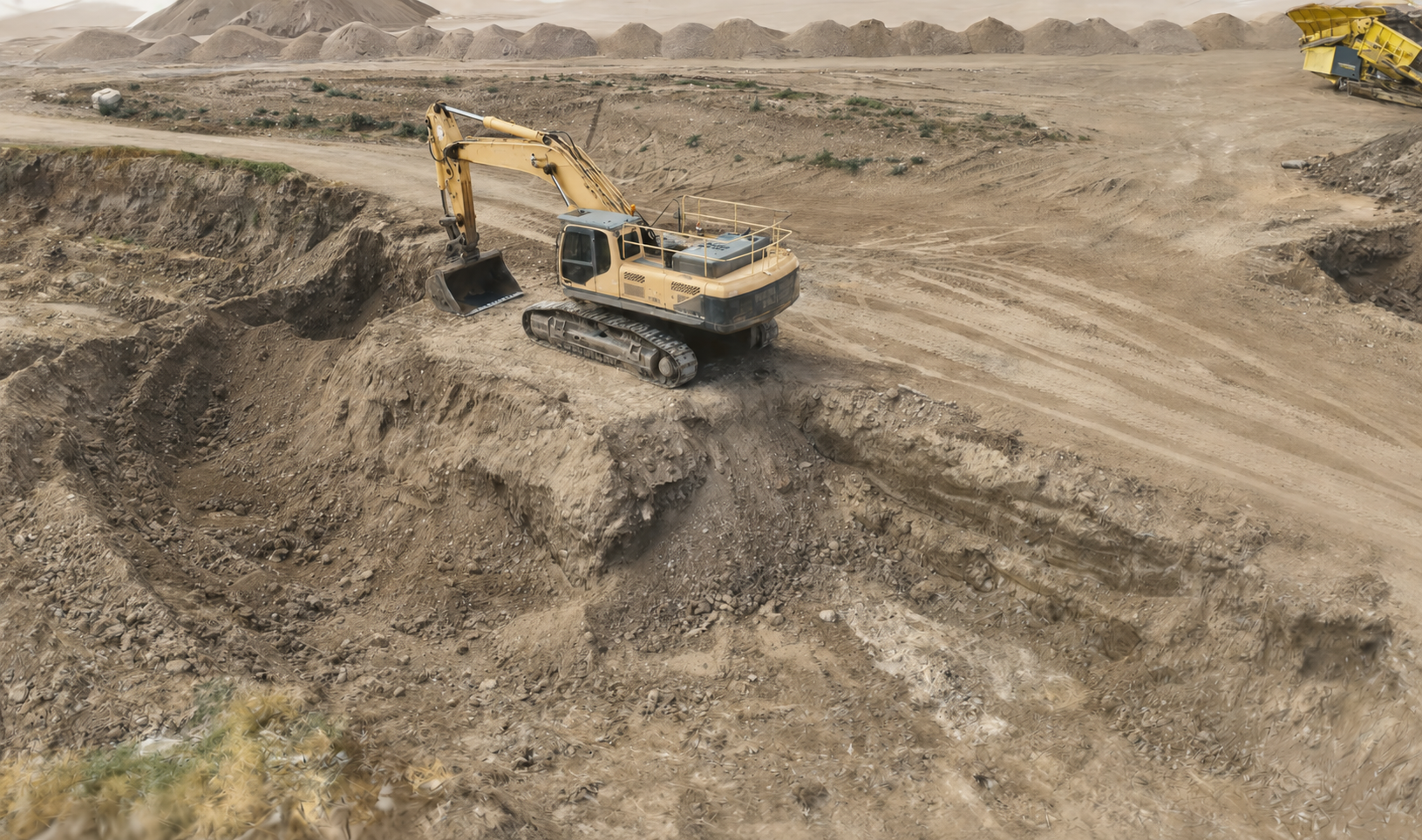
Bring your spaces and assets into the digital world with high-precision 3D Digital Twins. Using advanced reality capture technology, we create immersive, interactive models that provide an accurate digital representation of buildings, infrastructure, industrial facilities, and construction sites.
Digital Twins enable remote inspections, progress tracking, asset management, planning, and collaboration without the need for repeated site visits. Whether you’re managing an active project, documenting existing conditions, or creating a long-term digital record, our solutions deliver reliable data that improves efficiency and decision-making.
2D Orthomosaic Mapping
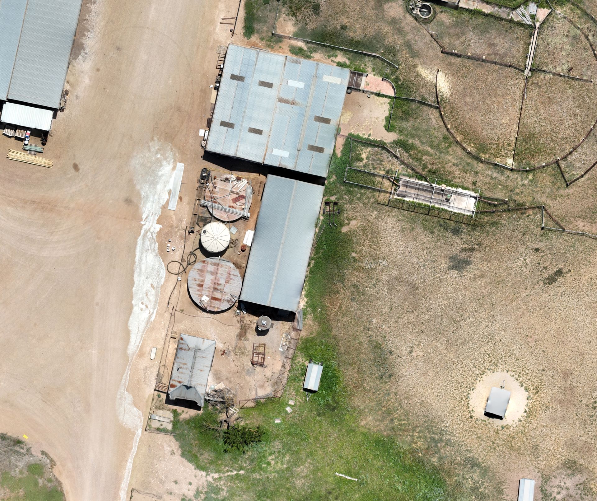
Unlock the potential of your land with Digital Mapping services! Whether you need 2 acres or 20 acres mapped, our drone technology ensures precise, high-resolution imagery. By flying a simple grid pattern, we capture every detail, providing you with accurate maps tailored to your needs. Ideal for agriculture, land development, environmental surveys, or any project requiring detailed aerial insights.
Let us help you visualise your space like never before! Reach out today to learn how we can assist with your digital mapping needs.
Aerial Inspection
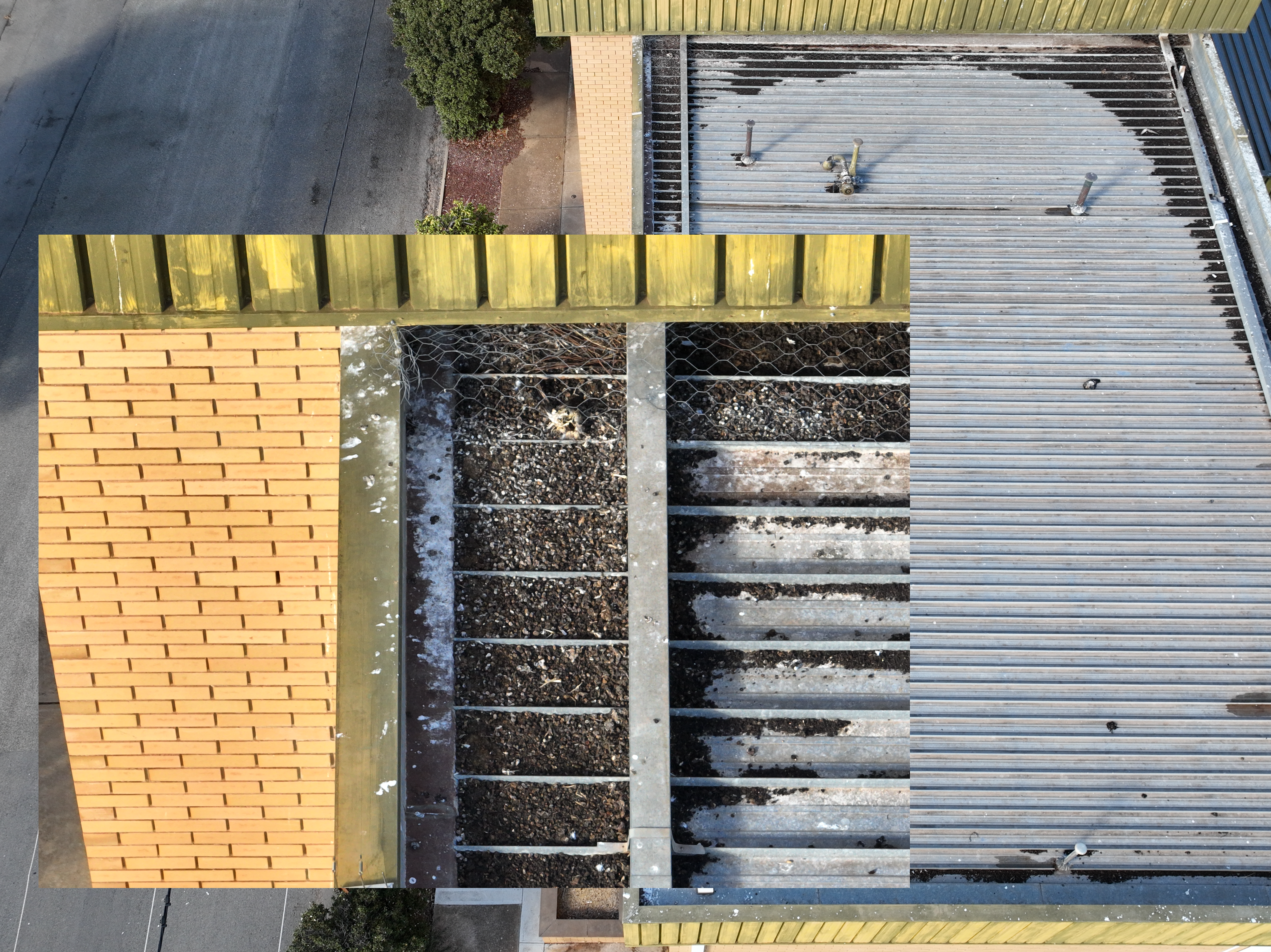
Easily the safest way to do an inspection. Why risk injury, when it can be done by a drone? It’s also a cheaper and more time efficient option than using scaffolding or an elevated platform, such as a boom or scissor lift. With yourself on-site, the images are able to be reviewed in real-time. This allows you to make informed decisions on the spot, and whether to investigate any issues further whilst the drone still in the air.
With the drone having an additional zoom lens, it is able to zoom in and get the best possible detail. Safe and easier access to just about anywhere.